Bristol Pilot — Near Human

Bristol Pilot

Near Human's first real-world deployment — edge AI safety systems fitted across 20 Dott e-scooters, live on the streets of Bristol, England.

Dott

Dashboard Preview

Real-time safety intelligence

Approved stakeholders see live heatmaps, near-miss alerts, road-defect maps, and a safety score across every route in the pilot zone — updated as the fleet rides.

LiveBristol · Dott · Phase 1
Dashboard preview

20

Active Vehicles

of 50 target

148

Near-misses

flagged today

8.4

Safety Score

Bristol avg

Incident alerts
Proximity events
Pothole / defect
Clear route

Road Intelligence

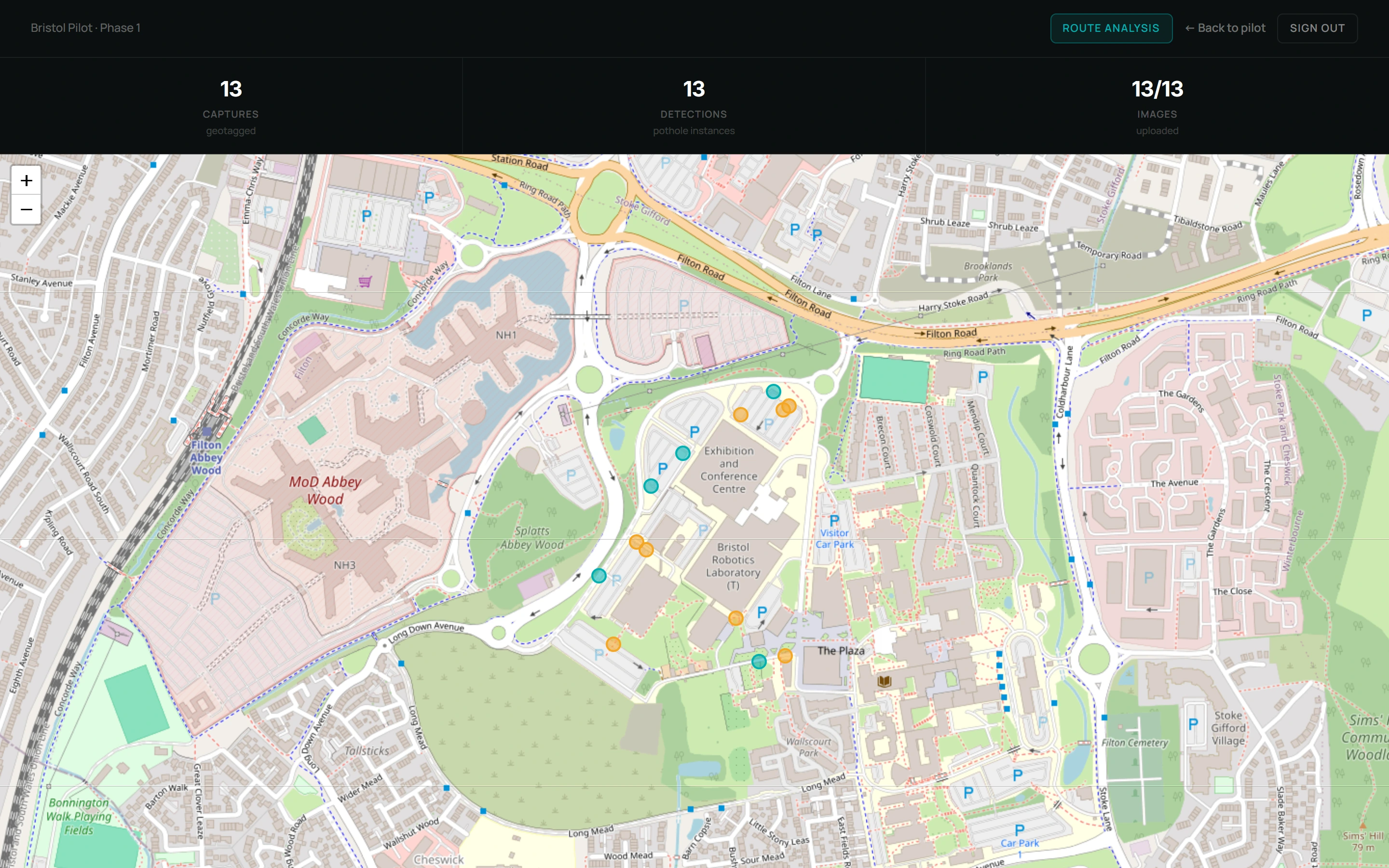
It maps the road, too. The same units geotag potholes and surface defects on every ride — continuous road-condition data as a by-product, at a fraction of a survey vehicle’s cost.

£18bn

repair backlog

£100k+/yr

survey contracts

£0

extra hardware

20Dott e-scooters

Phase 1 fleet size

30fps

On-device inference speed

0mscloud latency

No data leaves the vehicle

Programme Timeline

Pilot updates

Mar 2026

Fleet Partnership Signed

Partnership agreed with Dott, Bristol's e-scooter operator. Near Human edge units to be deployed across 20 vehicles in phase one.

Apr 2026

Technical Preparation & Unit Testing

Edge compute units validated in lab conditions. Firmware tuned for Bristol's urban environment — junctions, pavements, pedestrian density.

Apr 2026

Hardware Deployment Begins

Edge compute units fitted across 20 Dott e-scooters. Real-time telemetry and on-device computer vision inference now running in the field.

May 2026

Dashboard Launch

Stakeholder dashboard live with heatmaps, incident alerts, road-defect maps, and a safety score across every route in the pilot zone.

Jun 2026

In progress

Live Data Collection & Analysis

Incident detection, pedestrian proximity events, near-miss classification, and pothole mapping now logging across Bristol city-centre routes — the pilot's current focus.

Stakeholder Access

Request access

The dashboard is available to fleet operators, city councils, the Department for Transport, and approved research partners.

Sign up with your name, work email and organisation. Our team reviews every request — once approved you can sign in to the live dashboard.

Request access

Be Part of What's Near.

From early experiments to real-world deployments, stay updated on how NearHuman is building the next era of intelligent devices.

Send a Message

Map data © OpenStreetMap contributors